Hyperrhiz 12
Interactive Sound Maps as Tools for the Transformation of Social Space
Marta Carrasco
Sergi Selvas
Citation: Carrasco, Marta and Sergi Selvas. “Interactive Sound Maps as Tools for the Transformation of Social Space.” Hyperrhiz: New Media Cultures, no. 12, 2015. doi:10.20415/hyp/012.cm02
Abstract: From the description of the project A.Fluent. Reconstructing the Paths of Water (Avinyó [Catalonia], 2013), as well as the goals that motivated it, we explain its contextualization and conceptualization around landscape, conceived as a space built on the individual and collective perception and knowledge of the community; and the dérive, as the principal method of approximation to the territory, listening to and exploring the landscape to understand its transformation and transfer its traffic to sound and interactive media using artistic cartographies made for the visualization and reflection of the spectator-user-participant; cartographies that narrate the story of the social space from its inhabitants and its sound atmosphere or soundscape.
Introduction
It is from a cross-disciplinary methodology that we try to put into practice some ideas, concepts and reflections about space, territory, landscape and memory. In the present article we will talk about the relation that as human beings we have — and we had — with our lived space and how we can recover and express that memory. So, in order to get closer to the reality with the most transparent filters as possible, we apply our own lecture on the aforementioned topics. Consequentially, in the project of sound map that we present here, A.Fluent. Reconstructing the Paths of Water, we take the (cultural) landscape as a backdrop, the walk as a method (Careri, 2002) and sound as a tool in order to intervene on the cultural context of the place and its community. We work through 'analogic methodologies' that are put into practice by digital and media tools in order to enquire into the layered history of the territory and map its meaningful subjectivities. An experience of tracing back the sound cartographies of the multiple developed dérives (Ivain, 1953/1999) that involves the community twice, during the process of creation and research, and finally with the returned resulting map.
When we talk about landscape we understand it as the result of the sum of ways of life of the people who interact with the natural and environmental processes. Thus, the landscape is drawn in each historical moment by the cultural movement that is inherent in the lifestyle of each moment, for its proper space-time structure, and with mutability as its most essential quality. It is important not to confuse the concepts of territory and landscape, since the territory only acquires the condition of landscape when the perception and the individual and collective's knowledge of its inhabitants intervene. So, we walk through the paths that connect spaces which are defined by the construction of their spatial structure, the geological formation that is the result of time, water and wind erosion, as well as their characteristic vegetation, the permanent features of the architecture of men, even by the energies and informational unceasing flows.
All these are qualities conferred by climate and different time scales, whether geological, ecological, human or informational. At the same time, these characteristics define a multiplicity of landscapes. Ones are noisier, more visible, ostentatious and obvious, while others send out a weaker signal, keep invisible, hidden or in a latent condition. With this project we take these transparent landscapes as research objects on which to interfere in order to recognize the identity they provide to the territory.
Transparent landscapes that take shape in the social space, which is considered the people's space (Lefebvre, 1974/1991) , and that is built from the network of identities and the present's intra-relations. It is an intangible space that, nevertheless, gives sense to the shared one as the living space of the territory.
One of the entries of the term Landscape in the Diccionario del Uso del Español of María Moliner says: field extension that is seen from a place [...] for landscape it is usually understood the panoramic view that our eyes perceive from an average distance [...] the end of the spectrum is the immediacy scale, the closest to our eyes, the one that approaches to the forefront when we walk through the city or the countryside (Joan Nogué, 2009: 197).
On the other hand, these landscapes take their dimension in the place, where a process of re-activation is due to a continuous remembering of the past, becoming something that is lived and not only represented. Therefore, we can say that the places are also actions, events and happenings, where time is their principal attribute.
This work tries to peel off the different layers, one by one, through an exploration of the stories contained and embedded in the physical and geographical space, in order to recompose and edit the narrations of this transparent, hidden and often forgotten landscape.
The Map is not the Territory
To deal with these propositions, it is necessary to reconsider the concept of cartography and go further from the notion of map understood from the point of view of the paper and the pencil. This is the reason why we do not work with cartography as the end product, but as a process through which to identify existing relations and bonds of the territory. At the same time, we consider it to be a tool capable of becoming a new landscape. Even though this is our interpretation and subjective representation of a multiple reality, it allows us to explain and articulate some reflections about the evolution of place related to its identity, as well as the human transformation of the territory.
Thus, the cartography composed by multiple resources such as sound or images allows us to register a piece of reality in a particular time and, consequentially, as an ephemeral gesture. Subjectivities, memories, places, atmospheres and textures that are explained going beyond the paper, therefore, penetrate and disrupt more directly the community's collective imaginary.
With this process of mapping the social space, we can go in depth into past and present memory in the form of aesthetic accounts in order to consider a possible transformation. Through this process of creation, we expect to activate or reactivate the raising awareness of what our role is as inhabitants of a territory as well as meaningful elements of the landscape, in order to evidence which role we play in its transformation. Visualizing the memory contained in the story is crucial for recovering the identity of a place (Andueza, 2012).
In this way, with these kinds of projects and taking the place and its people as protagonists, we are able to highlight the landscape and its reality, and by the registered sounds, contribute to the creation of a collective archive together with the community. Visualizing the opportunities and resources contained in a territory, we contribute to its preservation and empowerment.
Walking as an Approaching Method
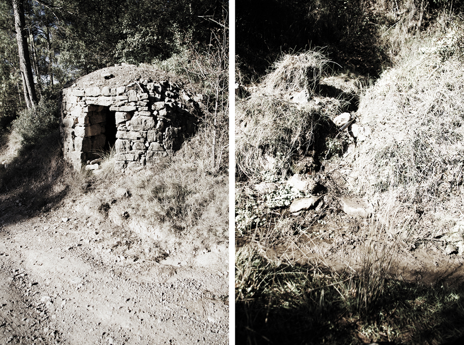
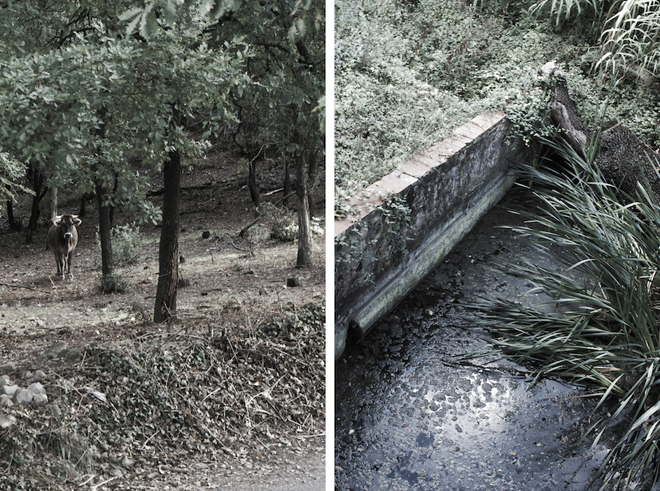
The project A.Fluent tries to concretize the traced spaces by relating them to water, which is considered to be the reason for their existence. That is to say, we focus our research on those paths whose existence is due to the presence of a water source, usually a fountain. People walk through the territory, and create paths and traces – some disappear, but others do not. Nevertheless, people usually go to one place or another because of something. And the 'something' that we wanted to investigate was water.
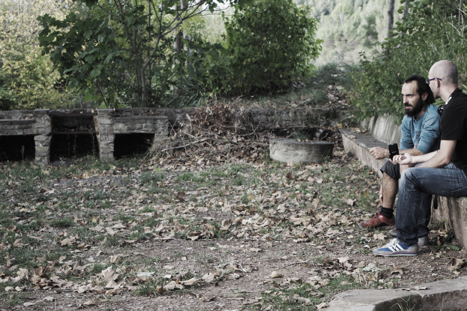
Thereon we started walking, going over the paths, bringing them together with the tensions and the force fields that create the structural relations of the territory. Consequentially, not only did we carry out this route by a dérive through the physical space, but also tracing back the intangible space of the inhabitants' memory(ies). The atmosphere that delves into us through the senses, the visual and oral culture that we are capable of recognizing, the cultural values that somehow are still semi-present in the air... All these impressions and sensations were registered in sound and photography. Afterwards, with this material we were able to compose a new story of the lived landscapes in relation to the interpreted ones.
The Sound Map as an Intervention Tool
One of the reasons that allows cognitive interaction between art and reality is the approaching and reaching of the experience of multiple simultaneous layers which are represented by text, image and sound (Ceraso, 2010).
With the explosion of geolocation technologies and new sound apps, sound may soon become a naturalized feature of cartography. So I think it's important to ask more questions about what these maps enable and/or disable. What are we losing by visualizing sound? What are we gaining? What is at stake? (Ceraso, 2010)
We use the textual freedom provided by sound to talk about routes and stories beyond the image and the most conventional mapping. Sound releases us thanks to its capacity of generating content beyond the traditional media, making possible the construction of new scenes that occur externally of the conventional media circuit. This way, we are able to open up new ways of expression and representation. This methodology has been recently used extensively in several projects of sound art, and is receiving growing interest by architects and planners as well as artists. In Spain, we find different and remarkable examples, like Escoitar.org (Molina et al., 2006), a territorial proposal with the objective of recovering and preserving an endangered sound heritage; and at the same time, the construction of a collective archive of sound art and electroacustic music. Other examples are the ones developed in LABoral Art and Industrial Creation Center in Gijón, LABSocial Club (Palacios, álvarez, Rodríguez, Tobalina, 2010) where the phonograph Juanjo Palacios organized sound walks with elderly people along the suburbs of Gijón; other projects are Soinumapa (Erkizia, 2005), Dmencia Soundwalk, in Andalucía Soundscape (Cantizzani, 2008) or Sons de Patum (Boixader et al., 2009), where a research group of the University of Barcelona carried out a sound mapping of the Patum festivity.
All these projects are cartographies or sound maps that keep the idea of archive and collaboration as their background. They have their origin in the late 60's and beginnings of the 70's, with the first attempt at soundscape collection made by The World Soundscape Project, entitled Vancouver Soundscape (Booth and Brancasi, 2008). Directed by R. Murray Schafer and the members of the World Soundscape Project, a sound walk in a tape format was presented. However, is from the 90's and by the hand of John Kryger that the basic ideas of what we know today as sound maps were conceptualized (Kryger, 1994). The first premises led to the need to complete virtual cartographies with new content that wasn't graphical, knowing intuitively that the sound could determine the way in which the cartography has evolved until today.
Thus a map display for the visually impaired could use tactile display for base map information and could use sound to represent single or multivariate data located at points or areas on the map. The sonic representations could be roughly located in a two (or three) dimensional sound space or they could be selected by an interactive tactile display. These approaches would allow the communication of complex, multivariate data to the visually impaired – something to which tactile maps are not particularly well suited. It would use the tactile display for base locational attributes which may be more difficult to create and interpret with sound. (John Kryger, 1994, cited in Rawes, 2009)
Since then, a lot of other sound mapping projects have been created, partly thanks to open source technology, which makes possible the editing and construction of virtual maps without the need for an extensive knowledge in informatics.
Related to this, some highlighted experiences from English-speaking countries are Open Sound New Orleans (Heather Booth and Jacob Brancasi, 2008, cited in The Kitchen Sisters, 2001), a community media project focused on the daily life of the inhabitants of the city of New Orleans documented in sound; The London Sound Survey (Ian Rawes, 2009, cited in Soundscape Vancouver) that includes historical accounts of how the city sounded in the past; and the Sonic Memorial project (The Kitchen Sisters, 2001), a historic sound documentary with interviews, voicemails messages and other kind of files related to the experienced lived during the September 11th attacks of the World Trade Center in New York.
All the aforementioned examples are archives that contribute to retaining memory, in these cases, a sound memory. But for us, one of the main objectives was to create an interactivity between the public and our project, so we proposed to rethink sound mapping not only as a documentary archive, but as an intervention tool as well. This proposition comes from a sensorial and experimental point of view of the proper narration of the territory composed by interpersonal dérives that allows a revival of the cultural landscape through interviews with local people. With A.Fluent we tried to go beyond this experience by developing an online interactive map. Furthermore, it can be projected in human scale and together with a presence sensor, enables interactivity and space fluidity, whether physical (limited by the projected area) or intangible (composed by the registered sounds). Thus, the projected map allows the spectator to trace back the possible dérives made by the artists walking along the projected map image and, consequentially, participate metaphorically with its own presence as inhabitant in the real territory.
Some Conclusions and Final Reflections
With these projects we create maps that go beyond the graphical representation of the discovered subjectivities, becoming a new relational space that allows for an interaction between spectator-participant as active and transformative subjects of the territory. At the same time, they work as a register of the multi-temporality of the narrated and lived experiences. This is a first aesthetic approach to the use of sound and technology in an interactive project that, on the one side, aims to reproduce an aesthetic experience — understanding that, actually, this experience can only be completely enjoyed on the territory — and, on the other side, extract some data to figure out possible conflicts,problems or hot spots that affect the inhabitants and the territory itself.
In these cartographies, the dérive is also located between the method and the experience, allowing us to walk while we listen to the murmurs and the sounds, recognising the atmospheres and feeling the spaces. Intensities are signified in the spatiality of the routes and the temporality of the stories, and make up a new ephemeral landscape which is recomposed in each attempt of dérive, in each traced account.
View Project: VIEW A.Fluent. Reconstructing the Paths of Water.
Works Cited
Andueza, María. "A las ciudades se las conoce, como a las personas, en el andar: orígenes de la instalación sonora en el espacio público en el marco del urbanismo y la sociología de los años 60". Arte y Política de Identidad, 7 (2012), 127-142. Print.
Boixader, Jordi. Sons de Patum, 2009. http://sonsdepatum.lapatum.cat/ (accessed February 15, 2015).
Booth, Heather, and Brancasi, Jacob. Open Sound New Orleans, 2008. http://www.opensoundneworleans.com/core/ (accessed May 14, 2015).
Cantizzani, Juan. "Dmencia Soundwalk" in Andalucia Soundscape, 2008 http://www.andaluciasoundscape.net/category/proyectos/dmencia-soundwalk/ (accessed February 15, 2015).
Careri, Francesco. Walkscapes. El andar como práctica estética. Barcelona: Gustavo Gili, 2002. Print.
Ceraso, Steph. The Sight of Sound: Mapping Audio, 2010. http://hastac.org/blogs/stephceraso/sight-sound-mapping-audio (accessed February 15, 2015).
Erkizia, Xabier. Soinumapa.net, 2005 http://www.soinumapa.net/?lang=es (accessed February 15, 2015).
Ivain, Gilles. "Formulario para un nuevo urbanismo." In Internacional Situacionista, Vol. 1: La realización del arte. Madrid: Literatura Gris, [1953] 1999. http://www.sindominio.net/ash/is0109.htm (accessed February 15, 2015).
Kryger, John B. "Sound and Geographic Visualization." In MacEachren, Alan and Taylor, David R.F. (eds.), Visualization in Modern Cartography. New York: Pergamon, 1994, pp. 149-166. Print. doi:10.1016/B978-0-08-042415-6.50015-6
Lefebvre, Henri. The Production of Space. London: Blackwell, [1974] 1991. Print.
Molina, Berio; Longina, Chiu; González, Horacio; Rodríguez, Juan-Gil; Gómez, Julio; and Suárez, Carlos. Escoitar.org, launched in 2006. http://www.escoitar.org/ (accessed February 15, 2015)
Palacios, Juanjo; Álvarez, Elena; Rodríguez, Aida; and Tobalina, Iván. LABsocial_Club, 2010. http://labsocialclub.yolasite.com/ (accessed February 15, 2015).
Rawes, Ian. The London Sound Survey, 2009. http://www.soundsurvey.org.uk/ (accessed May 14, 2015).
Soundscape Vancouver. The World Soundscape Project, 1973. Simon Fraser University. http://www.sfu.ca/~truax/vanscape.html (accessed February 15, 2015).
The Kitchen Sisters – Davia Nelson and Nikki Silva. The Sonic Memorial Project, launched in 2001. http://www.sonicmemorial.org/sonic/public/index.html (accessed May 14, 2015).
Notes
- In this sense, Lefebvre considered the production of the space from the social morphology in relation to the urban context where "is the lived experience what forms it in itself, it is an alive organism and closely linked to function and structure" (1974/1991: 94).
- With the project Tactical Sound Garden, Mark Shepard also proposes this idea of sound art as an intervention tool. As it is described, it is a mobile media platform for cultivating virtual public "sound gardens" within contemporary cities. The participants can "plant" sounds that are geolocated, so other participants can listen to them using the toolkit developed by the artist. These actions also become a way to reclaim the public space by the inhabitants of the place. http://www.tacticalsoundgarden.net/ (accessed May 14, 2015).
- We worked in a countryside area of Catalonia, so the interviews were recorded in Catalan, the local language of the Region. In the website of the project, some highlighted opinions and expressions of the interviewed people are also written in English. http://www.mixite.cat/afluent (accessed May 14, 2015).
Project Link
"A.Fluent. Reconstructing the paths of water." Sound interactive map. http://www.mixite.cat/afluent